
Yath Uranium Project
Uranium Exploration in the Angikuni Sub-Basin
13 contiguous mineral claims covering 17,363 hectares in the Kivalliq Region of Nunavut.
- Area
- 17,363 ha
- Claims
- 13 contiguous
- Location
- Kivalliq Region, Nunavut, about 225 km SW of Baker Lake
- Ownership
- Being acquired 100% under three agreements
- Stage
- Early exploration, no mineral resource
Location and Access
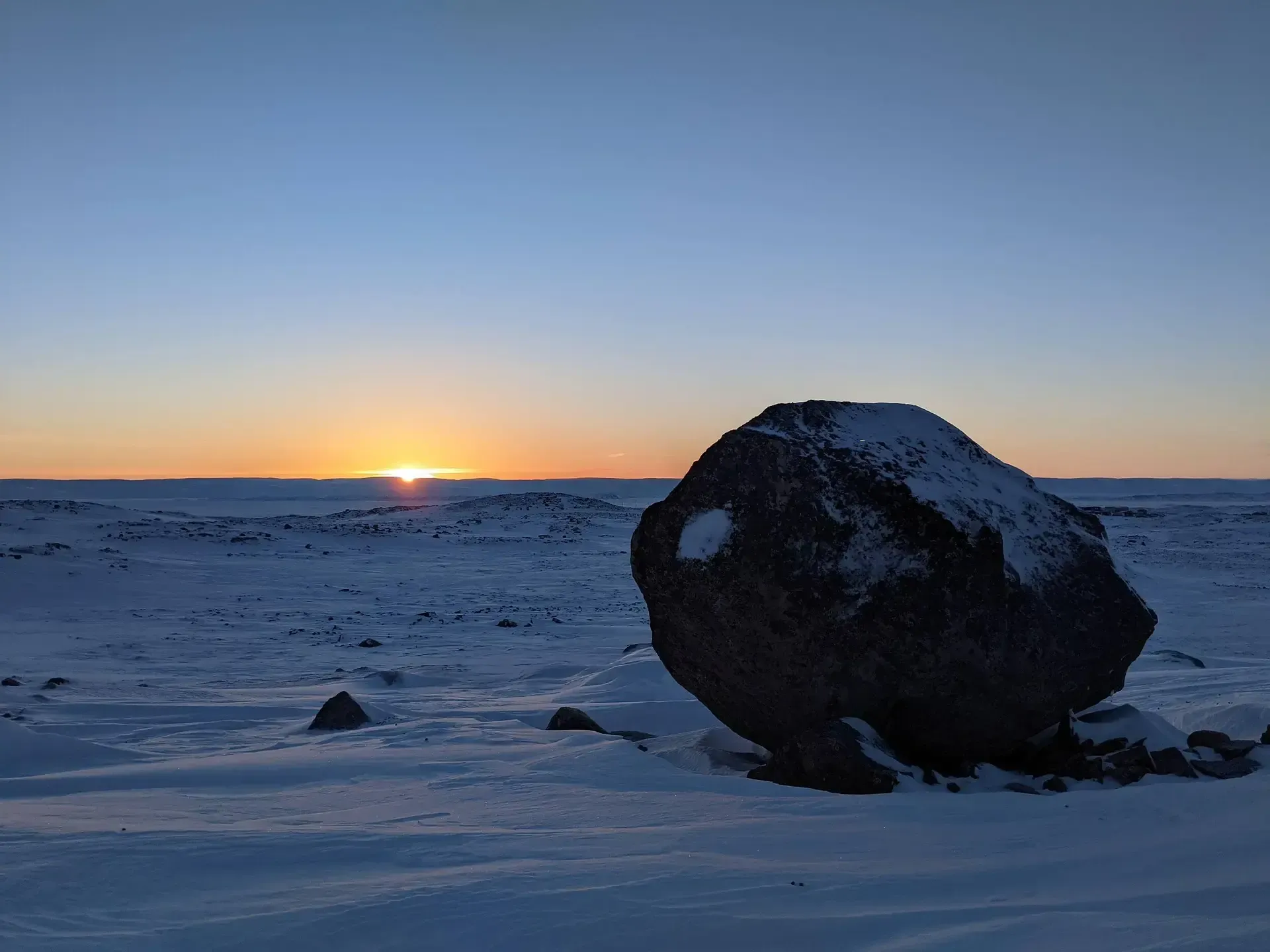
The property lies in the Kivalliq Region, approximately 225 km southwest of Baker Lake and 350 km west of Rankin Inlet. Access is by light aircraft from Baker Lake or Rankin Inlet and by helicopter on site. The terrain is tundra with limited outcrop under glacial cover. The surface rights are Crown land administered under the Nunavut Land Claims Agreement.
Ownership
Generation Uranium is acquiring a 100% interest in the claims under three agreements announced November 8, 2023, June 20, 2024 and January 2026. Cash payments and share issuances under the first two agreements are complete. Under the third, 7 million common shares remain to be issued on December 18, 2026. The claims carry net smelter return royalties of 1% to 2% with no buy-back provision.
Source: NI 43-101 Technical Report, Section 4.
Geological Setting
The Angikuni and Yathkyed sub-basins are Proterozoic basins within the Western Churchill Province. The contact between basin fill and Archean basement is the unconformity targeted globally for unconformity-style uranium deposits, the type found in the Athabasca Basin.
Source: NI 43-101 Technical Report, Sections 7 and 25.
- No definitive source of the high-grade boulders have been located
- The Yath project covers a possible western extension of the LAC 50 trend
- Multiple NE trending regional faults bisect the licence area
- Basin-bounding unconformities cross the western side of the license and are exposed in the centre
- The Central belt of Felsic Gneiss are in faulted contacts with Henik Group volcanics
Historical Exploration
Noranda and Pan Ocean explored the area in the 1970s and 1980s. Kivalliq Energy carried out mapping, boulder prospecting, ground and airborne geophysics (AeroTEM IV in 2008, DIGHEM-V in 2011), a 2 km seismic line and RC and diamond drilling between 2007 and 2013. Seven of fifteen holes at the VGR Zone returned downhole readings above 250 cps, up to 2,450 cps. A seismic reflector interpreted as the unconformity sits at about 200 m depth. Earlier Noranda drilling recorded spot radioactivity up to 6,300 cps. Historical surface samples include 9.81% U₃O₈ (showing MM81-276), 3.97% U₃O₈ (boulder JD-81-41) and 2.14% U₃O₈ (DAB-81-200) from 1981 prospecting in the BOG-Embryo Creek area, and drillhole BOG-8-80 returned 1.0 m at 0.224% U₃O₈ from 25.5 m.
“The VGR represents one of the best settings for high-grade unconformity-style uranium mineralization on the property. Several geological and geophysical features combine to greatly increase the prospectivity of the area for deposits of this type, including its structural setting near the active margin of a Proterozoic basin, widespread surface mineralization associated with a conductive fault zone, and several strong gravity anomalies proven by drilling to overlie clay alteration along the fault. These are all common features of unconformity-style deposits in both Saskatchewan and Nunavut.”
Targets
Seventeen targets were defined in September 2025 from the historical data. Principal areas: the VGR Trend, a fault corridor of about 5 km with elevated radioactivity and clay-silica alteration, where one RC hole recorded 5,000 to 15,000 cps over its upper 65 m and a grab sample returned 1.65% U₃O₈; the BOG-Embryo Creek Trend, a 3 km radioactive corridor largely under overburden; the Lucky Break area, with pitchblende in quartz-carbonate breccia 11 km from Lac 50; and MP-25, IM-6, Boulder Lake and Amy's OC.
Source: news releases of September 11, 2025 and July 2, 2026.
Observations from Historical Work
- 01Atha Energy's Angilak Project has a historical resource contains 43.3M lbs U₃O₈ @ 0.69% (2.8 MT U₃O₈)*
- 02The Thelon Basin is an unconformity basin globally recognized with proven economics: Athabasca, Saskatchewan; McArthur, Australia; Thelon, Nunavut
- 03The 17,363-hectare project (13 contiguous mineral claims) is contiguous with a known uranium project that is currently being advanced
- 04Several strong gravity anomalies have been proven by drilling to overlay clay alteration along the unconformity and warrant follow-up
- 0513 historic drill holes with numerous anomalous radiation reading including RC11-BOG-001 returned the best spot reading of 6300 CPS (counts per second) at 17.53 metres with assays measuring 0.37% Cu and 0.12% U₃O₈ between 16.8 and 18.3 metres
- 06Clay alteration is identified in drill cuttings and in outcrop at the VGR target area which is similar to alteration seen in Athabasca unconformity deposits
- 07New first derivative magnetic mapping that indicates structure parallel demagnetized zones in relation to historically defined targets
2024 to 2026 Work
In 2024 the company flew 809 line-km of airborne MobileMT, VLF-EM and magnetics with Expert Geophysics. An NI 43-101 technical report by Mike Magrum, P.Eng., effective March 31, 2026, was filed in April 2026. In July 2026 Expert Geophysics flew an infill MobileMT survey over the central gap and western claims, and the company's first field program began, aimed at ranking drill targets. A multi-year drill permit application was filed with the Nunavut Impact Review Board and Nunavut Water Board in 2024; as of the technical report's effective date no permit had been issued.
Technical Report Recommendations
- 01Infill of the airborne AFMAG, VLF-EM and magnetics line missed in 2024
- 02A more powerful seismic method over the VGR zone
- 03Prospecting of known uranium showings
Proposed budget: $252,828.
Source: NI 43-101 Technical Report, Section 26.
Read the Technical Report (PDF)Adjacent Properties
Angilak Property Historical Resource Reported by ValOre Metals Corp. in a Technical Report entitled “Technical Report and Resource Update for The Angilak Property, Kivalliq Region, Nunavut, Canada”, prepared by Michael Dufresne, M.Sc., P. Geol. of APEX Geosciences, Robert Sim, B.Sc., P. Geo. of SIM Geological Inc. and Bruce Davis, Ph.D., FAusIMM of BD Resource Consulting Inc., dated March 1, 2013. Inferred mineral resources of 2,831,000 tonnes at an average grade of 0.69% U₃O₈ and 0.17% molybdenum containing 43.3 million pounds of U₃O₈ and 10.4 million pounds of molybdenum. The historical mineral resource estimate was calculated in accordance with NI 43-101 and CIM standards at the time of publication and predates the current CIM Definition Standards for Mineral Resources and Mineral Reserves (May 2014) and CIM Estimation of Mineral Resources & Mineral Reserves Best Practices Guidelines. Results on adjacent projects may not be indicative of the potential of the Yath Project.
Mineralization on adjacent properties is not necessarily indicative of mineralization on the Yath Project.